The plan
The meeting Plan | What to bring | The Plan | Supportive Organisations
Here is the area displaying where the Conservation Park actually extends which measures to approx. 99 square kilometers.
Please try and remain in this area shaded blue and orange as this is the Adopted Shacks Crew area and the only area we have left to recreate on as 4wdrivers close to Perth - north.
The Wilbinga Conservation Park MUST be protected if it is to remain open to us.
Please keep out of the private property to the northern boundary.
To the south is the City of Wanneroo area where we no longer have access since the closure of Dewar's Track by the City of Wanneroo for safety and environmental concerns.
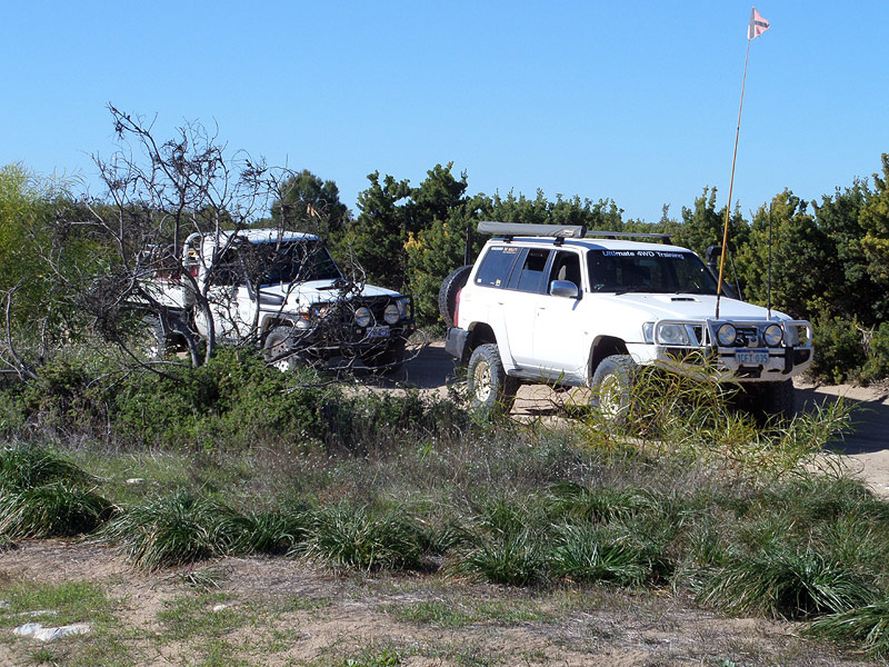
If everyone could group up and head in somewhere between 8:00 am and 9:00 am from either Wilbinga Road to the south or Wilbinga Grove to the north, that would be great.
This gives everyone plenty of time to fill their trailers up and still get back to where Parks and Wildlife are wanting to set up their BBQ trailer this year which will be at the end of the Western end of Wilbigna Road,
The lunchtime BBQ WILL NOT AT THE SHACKS this year
The Shacks Crew will give everyone directions on request (if needed) as they will be all over Wilbinga in their blue shirts, to the shortest possible distance back out on Wilbinga Road to Wanneroo Road and to where the dump point is and again, where the lunchtime BBQ will be set up.
Ok, making this really easy for everyone, please dump all your rubbish right here straight off the back of your trailers or into the provided Parks and Wildlife truck parked up, be it in heavy-duty plastic bags or rubbish strapped down on trailers - at the orange pin shown in the map, please?!
The above mapping displays tracks and pins, they are purely suggestions forwarded to the clubs and groups to consider.
If \anyone knows of other target areas, just go for it ;-)
Parks and Wildlife will do a pickup within a fortnight to a month.
The meeting Plan | What to bring | The Plan | Supportive Organisations